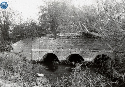
Image credit: RCHS. 1962, River Ray Aqueduct from SW.

Image credit: RCHS. 1962, River Ray Aqueduct from SW.
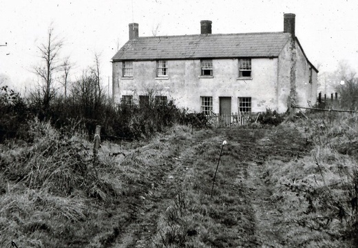
Image credit: RCHS. 1962, "Lengthmen's cottages near Ray Aqueduct, between Ray Aqueduct and Ray Farm. Viewed from bed of canal now filled in."
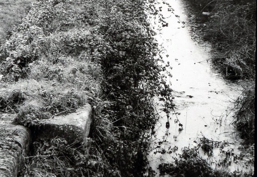
Image credit: RCHS. 1962, Pry Lock. View southwards from accommodation bridge
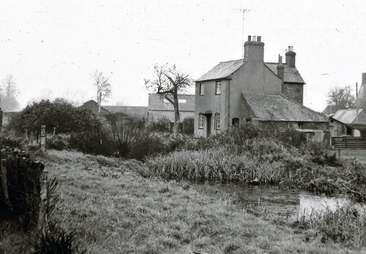
Image credit: RCHS. 1962, Pry Lock & cottages.
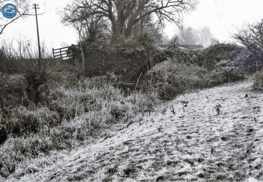
Image credit: RCHS. 1962, Remains of accommodation bridge at Hayes Knoll - south of Cricklade.
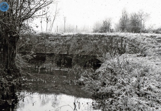
Image credit: RCHS. 1962, "River Key Aqueduct. South of Cricklade near Broadleaze Farm"
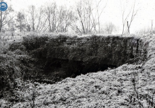
Image credit: RCHS. 1962, "River Key Aqueduct. South of Cricklade near Broadleaze Farm"
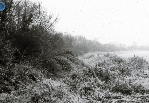
Image credit: RCHS. 1962, "Embankment NW of Key aqueduct.
Taken looking NW from R Key aqueduct"
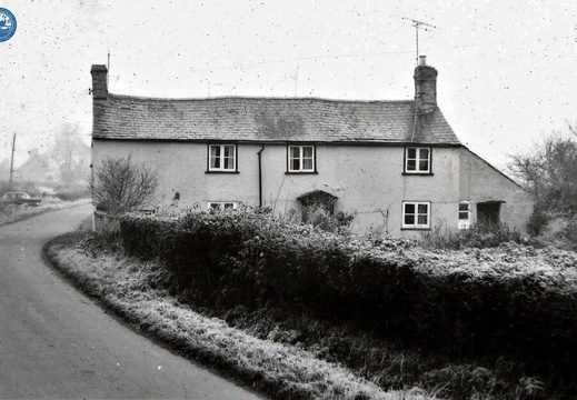
Image credit: RCHS. 1962, Wharf buildings, Cricklade.

Image credit: RCHS. 1962, Wharf buildings, Cricklade.
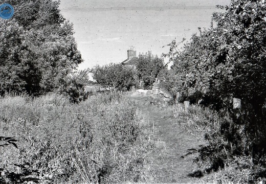
Image credit: RCHS. 1964, Looking towards Latton Junction.
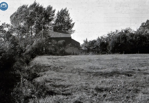
Image credit: RCHS. 1964, Latton Junction with Thames & Severn Canal.
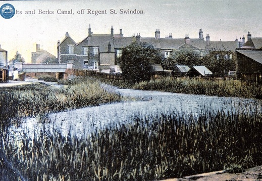
Image credit: RCHS. 1912, Swindon, North Wilts canal heading off north out of the bottom of picture in 1912.
