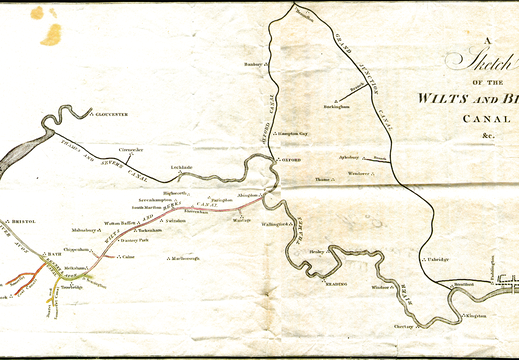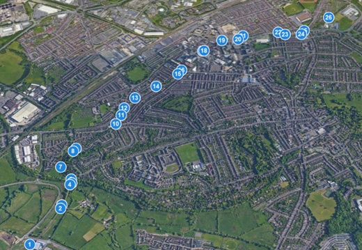
Google Earth Map & Tours
Google earth provides high quality satellite maps, Swindon available in 3D
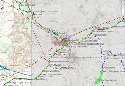
Know Your Place Maps
Tips for a better user experience:
Show canal lines & polygons: Menu>Information layers>List: select check boxes "Canal (lines)" and "Canal (polygons)" and de-select "Community layer" To hide menu: Menu>Show/ hide the menu>click to hide Note that Satellite maps are not available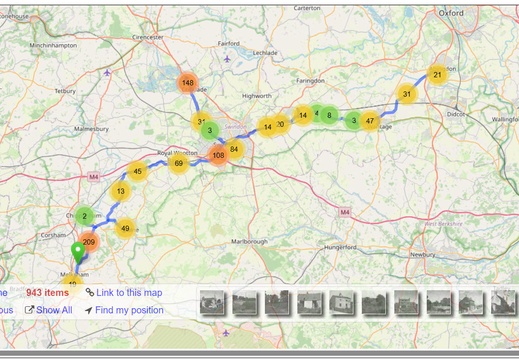
OpenStreetMap
OpenStreetMap
This OpenStreetMap is overlaid with Wilts & Berks canal specific images, use the mouse scroll button to zoom in & out
Elevation
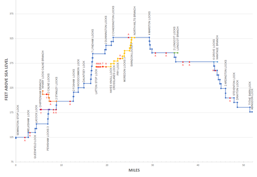
Canal Elevation Map
67.2 miles total Length including all branches. Mainline 52mi, Calne 3.2mi, Chippenham 2mi, Longcot 0.8mi, Wantage 0.8mi, North Wilts 8.4mi.
Semington to Swindon Rise 203.7 ft, 24 locks. Swindon to Abingdon Fall 160.2 ft 18 locks. Swindon to Latton Basin Fall 59.1 ft, 12 locks. 8 mile Summit.
Semington to Swindon Rise 203.7 ft, 24 locks. Swindon to Abingdon Fall 160.2 ft 18 locks. Swindon to Latton Basin Fall 59.1 ft, 12 locks. 8 mile Summit.
