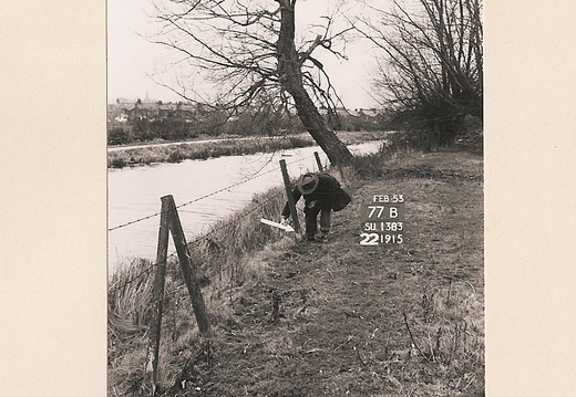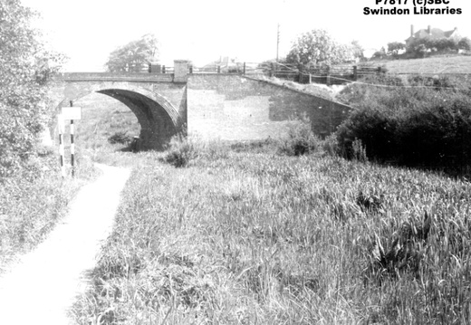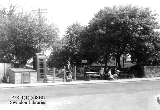
Image credit: Local Studies, Swindon Central Library. c1950, Location of former Kingshill Bridge
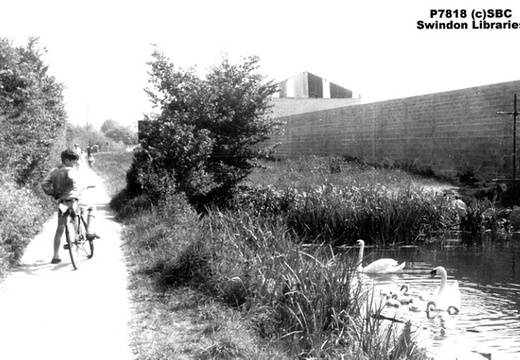
Image credit: Local Studies, Swindon Central Library. Date unknown, Kingshill towpath, by the dam
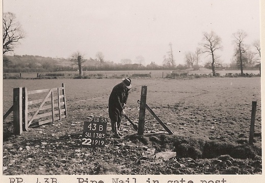
Image credit: Local Studies, Swindon Central Library. 1953, Man with a stick. Looking east to Westleaze farm & Beavan's bridge
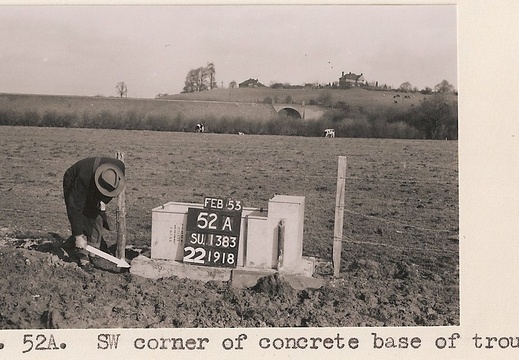
Image credit: Local Studies, Swindon Central Library. 1953, Man with a stick. Looking north east to Skew bridge
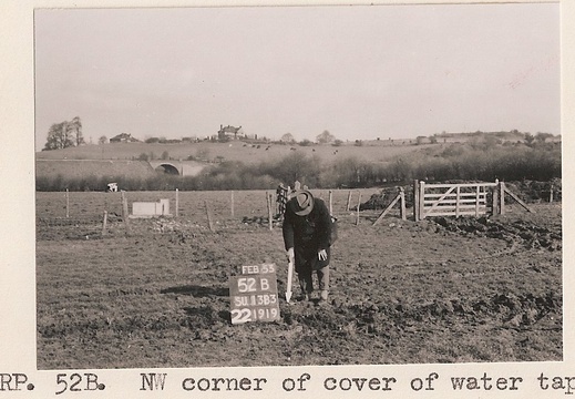
Image credit: Local Studies, Swindon Central Library. 1953, Man with a stick. Looking north east to Skew bridge
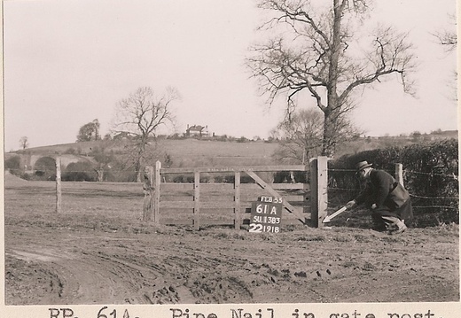
Image credit: Local Studies, Swindon Central Library. 1953, Man with a stick. Looking north east to Skew bridge
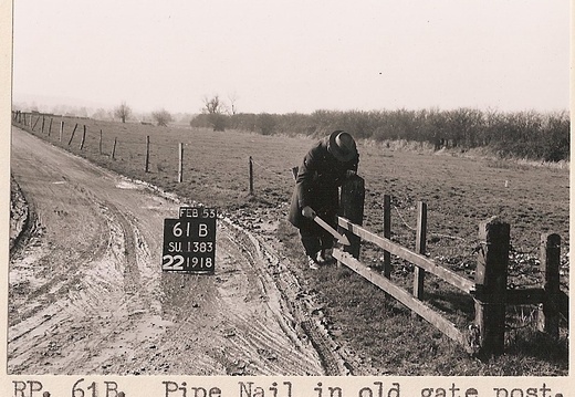
Image credit: Local Studies, Swindon Central Library. 1953, Man with a stick. Mill Lane, at the corner by Beavans Bridge, looking south. The line of the canal is on the right.
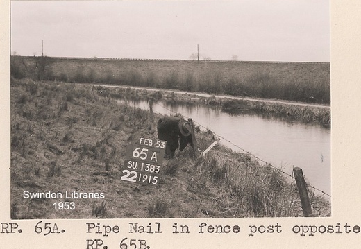
Image credit: Local Studies, Swindon Central Library. 1953, Man with a stick.
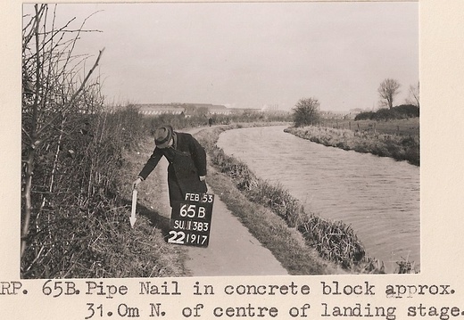
Image credit: Local Studies, Swindon Central Library. 1953, Man with a stick. Canal towpath between Skew bridge and Kingshill
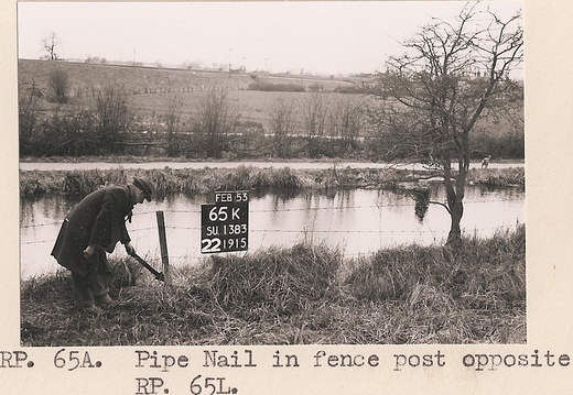
Image credit: Local Studies, Swindon Central Library. 1953, Man with a stick.
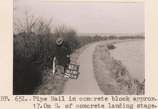
Image credit: Local Studies, Swindon Central Library. 1953, Man with a stick. Canal towpath between Skew bridge and Kingshill
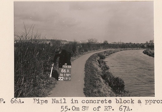
Image credit: Local Studies, Swindon Central Library. 1953, Man with a stick. Canal towpath between Skew bridge and Kingshill
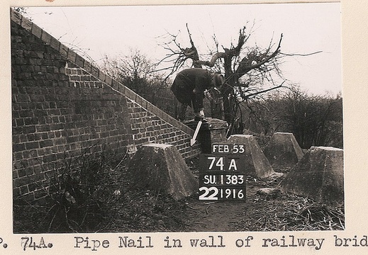
Image credit: Local Studies, Swindon Central Library. 1953, Man with a stick. Skew bridge
