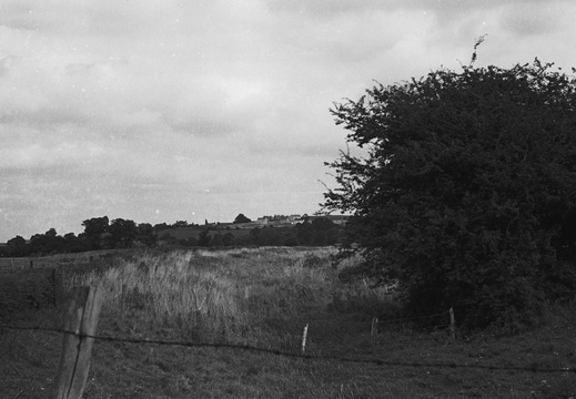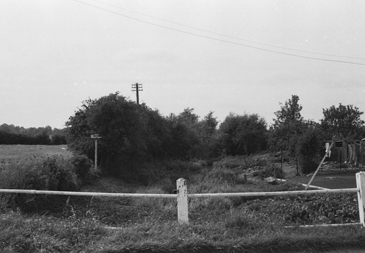
6.01.1 RWB (523n)
1962, RWB, looking west from Lower Woodshaw occupation bridge remains
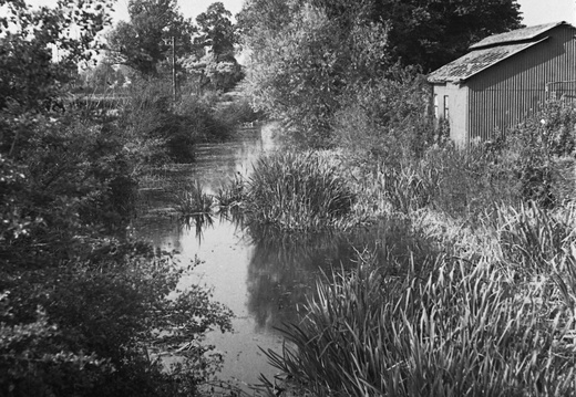
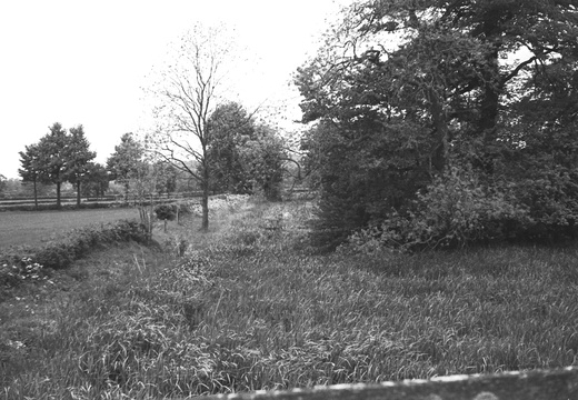
6.01.2 RWB (524n)
1962, RWB, looking east from Lower Woodshaw occupation bridge
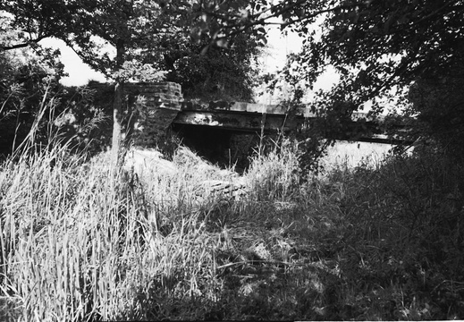
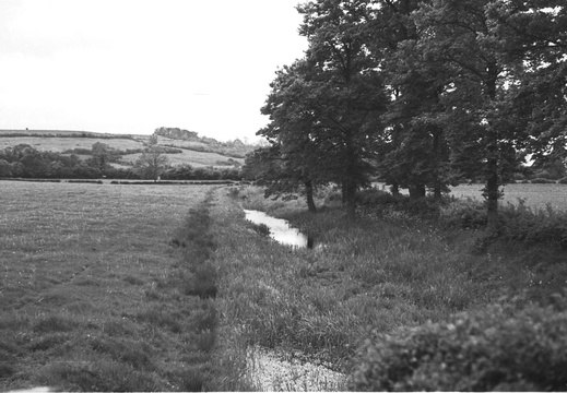
6.02.2 RWB (525n)
1962, RWB, "Bridge Inn" crossing, looking west
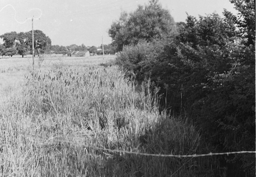
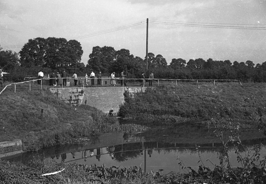
6.16.1 Foxham (629n)
1962, Near Foxham, looking east at Charlcut Hill bridge
6.16.2 Foxham (630n)
1962, Near Foxham, looking west at Charlcut Hill bridge
62 Arch Bridge

Arch bridge extinct, ramp to north exists. Milestone on south bank exists, inscribed E.M. mileage illegible. [3 miles to Semington milestone. Gary K]
D.L. Banfield Survey, 1969

63 Swing Bridge

Swing bridge site, brick foundations exist. This took a green lane across canal to bypass Turnpike toll.
D.L. Banfield Survey, 1969

71 NW Bridge

Hayes Knoll Farm Bridge exists (brick arch).
D.L. Banfield Survey, 1969

72 NW Arch Bridge

Remains of Arch Bridge by Newths Lane, arch and canal bed filled.
D.L. Banfield Survey, 1969

8.16.2 Melksham 02 (063n)
1958, Semington Junction with the K&A canal
Log
Historic Map

Abingdon Draw Bridge

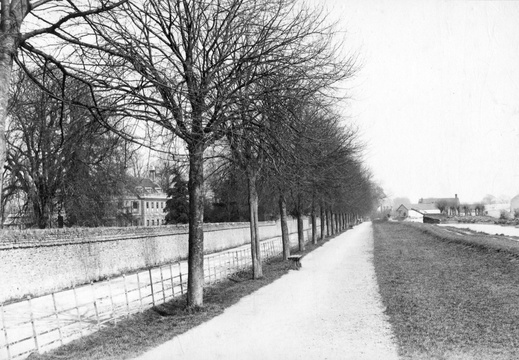
Image credit: Friends of Abingdon, Civic Society. Caldecott House is on the left of the picture, and a lifting bridge can be seen in the distance. c1890's. Photo possibly by Henry Taunt
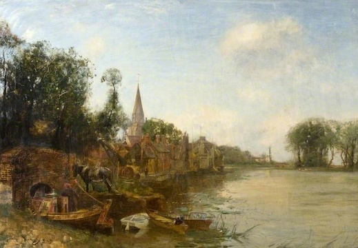
Beavan's Bridge
360