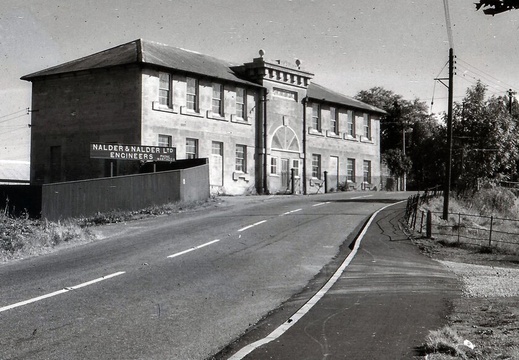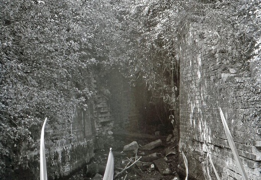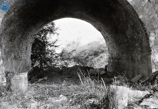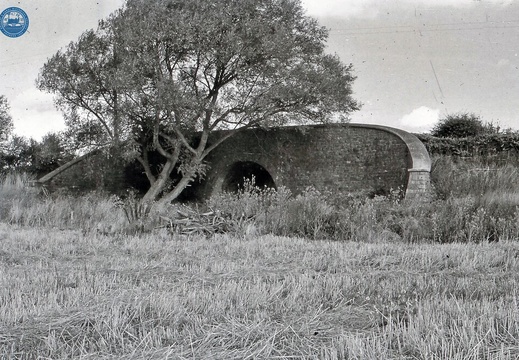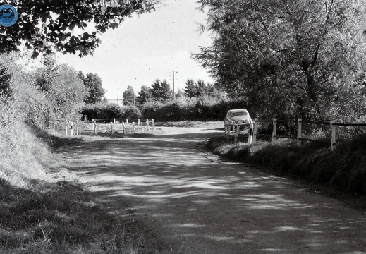
1.01.1 Abingdon (280n)

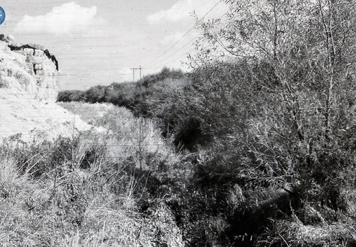
Abingdon, looking north west, at the canal junction to the river Thames
Log

1.01.2 Abingdon (346n)
Abingdon, Wharf House
Log
1.02 Abingdon (274n)
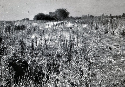
Abingdon, looking west from the Basin
1.05.1 Abingdon (262n)
Abingdon, Caldecott, looking east from occupation bridge
1.05.2 Abingdon (263n)
Abingdon, Caldecott, looking west from occupation bridge
1.05.3 Abingdon (264n)
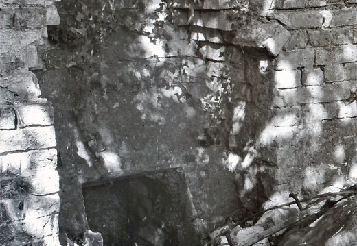
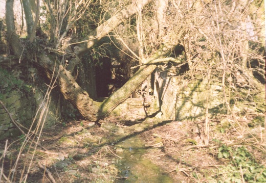
Abingdon, Caldecott , probable Masonary from the Lock
1.05.4 Abingdon (275n)
Abingdon, looking north from occupation bridge near New Cut Mill
1.07.1 East Vale (276n)
East Vale, looking east from Drayton occupation bridge
1.07.2 East Vale (277n)
East Vale, looking west from Drayton occupation bridge
1.09 East Vale (278n)
East Vale, Basin, adjacent to Steventon Lock
1.10.1 East Vale (265n)
East Vale, looking east from Cow Common bridge
1.10.2 East Vale (266n)
East Vale, looking west, at Cow Common bridge
1.10.3 East Vale (267n)
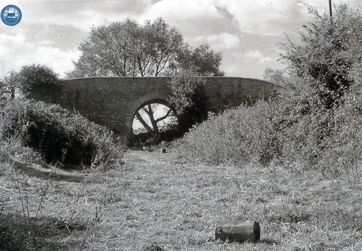
East Vale, Arch of Cow Common Bridge
1.11 East Vale (474n)
East Vale, Ardington Marsh Lock
1.12.1 East Vale (268n)
East Vale, looking north by "Canalside Cottages"
1.12.2 East Vale (269n)
East Vale, looking south by "Canalside Cottages"
1.13.1 East Vale (539n)
East Vale, looking east, Ardington Top Lock, internal
1.13.2 East Vale (279n)
East Vale, Quarter mile above Ardington Top Lock
1.14 East Vale (271n)
East Vale, looking west from Occupation Bridge leading to Neville's Farm
1.14.2 East Vale (328n)
East Vale, looking west from road crossing, Pinmarsh bridge
1.15.1 East Vale (329n)
East Vale, looking west from Grove Bottom Lock
1.15.2 East Vale (298n)
East Vale, Occupation bridge, west of Grove Bottom Lock
1.16 East Vale (478n)
East Vale, looking east from Spirit Lock
1.17 East Vale (283n)
East Vale, infilled line west of Smallmarsh Lock
1.19 East Vale (479n)
East Vale, Grove, House on west bank, probable canalside Inn/ Public House
1.20.1 East Vale (284n)
East Vale, Grove, Osmond Cottages on west bank from road aspect, former Blacksmiths & Hostel
1.20.2 East Vale (482n)
East Vale, Grove, Cottages on west bank from canal aspect
1.21 East Vale (272n)
East Vale, looking west approximatley 500 yards above Grove bridge
2.1.1 Wantage Branch (204n)
Wantage branch, Wharf Warehouse & Granary
2.1.2 Wantage Branch (205n)
Wantage branch, Wharf House
2.1.3 Wantage Branch (354n)
Wantage branch, Wharf Weighbridge Building called the "Sack House"
2.1.4 Wantage Branch (366n)
Wantage branch, Wharf entrance
2.2 Wantage Branch 05 (351n)
Wantage branch, Belmont bridge
2.3.1 Wantage Branch (352n)
Wantage branch, line looking north
2.3.2 Wantage Branch (353n)
Wantage branch line looking south
23 - Exploring The Lost And Forgotten Wilts And Berks Canal - 100 year old lock gates
Exploring The Lost And Forgotten Wilts And Berks Canal

Drayton to Ardington Marsh Lock

3.01.1 East Vale (330n)
East Vale, looking west from Barwell bridge
3.01.2 East Vale (355n)
East Vale, looking south west below Stockham bridge
3.02.1 East Vale (484n)
East Vale, looking south west on approach to Stockham bridge
3.02.2 East Vale (485n)
East Vale, looking south west on approach to Stockham bridge
3.03.2 East Vale (368n)
East Vale, looking north, East Challow Wharf house and bridge approach
3.03.2 East Vale (486n)
East Vale, looking west from East Challow bridge
3.05 East Vale (487n)
East Vale, looking north, West Challow Bridge east side
3.08.1 East Vale (331n)
East Vale, looking west at Kingston Common Farm
A Beginning & an End | Wilts & Berks
Abandoned Canal! Ardington Marsh & Ardington Top Locks
Abingdon to Swindon
Abingdon to Swindon. Fly along the canal
Abingdon to Wantage
Abingdon to Wantage. Fly along the canal
Are these the most abandoned Canal locks, in the UK?? We think so! Join the exploration adventure

Ardington Top & Ardington Marsh Locks

Canal Bridge Abingdon Caldecott Road

Image credit: Oxford Mail. Artist: Percy Roberts Engraving of the canal bridge at Caldecott Road, Abingdon. c1800's

Canal Lifting bridge Abingdon

Image credit: Oxford Mail. Caldecott Road showing canal on right. Lifting bridge in the distance. c1800's

EPW000885
Image credit: Britain from Above (1920) Canal line running bottom middle and joining the river Thames through a lock adjacent to a Wharf
EPW000890
Image credit: Britain from Above (1920) Middle left Thames junction, Lock and Wharf
Faulkner Log Page 018

18 12. Ardingtonmead Farm SU 426913 Visited:- 7.5.60: 6.8.60: 26.8.62: 2.9.62 Access:- TP from SU 424903 (easiest) or from ardington lane, FP access fields Photograph Nos:- 268, 269, 270 Observations:- 1:25000 map gives name as 'Canalside Cottages'. Line well defined very tall trees either bank. Footbridge (modern timber) crosses here from towpath to farm. Small one storey cottage beside towpath between farm and railway (apparently inhabited, 6/8/60), but connection with canal not obvious, building style does not seem of period. (10.9.60) learned from owner of [a house on the west bank, near Grove,] (old inhabitant of Grove) that this was the cottage of last lock keeper [Not so; this was probably Uncle Jim's cottage. See article by Chris Naish. dgs.], beat extended from Ardington Marsh (?) to Grove Top, junction Wantage Branch. Name J Steele. (26.8.62 & 2.9.62) No appreciable change.

C.E. Faulkner Field Excursions 1958-66

Faulkner Log Page 035

35 also for time taken to construct this part. No cuttings, except for about a quarter of a mile near Marcham. 4. LOCKS: All accessible, can be seen except (a) Abingdon (b) Caldecott. Ruined gates remain at Ardington Top, Spirit and Grove Common. No paddle gear left anywhere. Grove Bottom, Smallmarsh and Grove Top filled in more or less. Masonry and brickwork generally fair (Ardington Marsh best). 5. BRIDGES: Mostly timber swing or draw type, all gone, //tings filled and some culverted. Fixed Bridges probably at Caldecott (A34), New Cut Mill, 'Cow Common' and Grove (A338). Only Cow Common intact, probably because too much trouble to demolish, there are long approach embankments both sides. (see page 55) 6. BUILDINGS: Best period original is erstwhile canalside inn at Grove (A338) west // of // cottage, less characteristic. Ruined cottage at Ardington Top, and later small building on towpath nearby. Wharf House' Abingdon likely mid-19" century rebuild, similar Longcot new (wharf?). Same builder? But as good // as Wantage's. 7. REMARKS: No milestones found, they may be there but search impossible because of dense Growth. * But see Sec.I.5.

C.E. Faulkner Field Excursions 1958-66

Faulkner Log Page 051

51 Longcot Top Lock and Old Wharf SU 275893 Visited:- 7.8.60: 10.9.60 Access:- From Uffington Photograph Nos:- 335 Observations:- Lock probably just west of bridge, but no remains seen. Remaining parapet (low) of bridge in existence, but arch filled with masonry //. Line west very overgrown with reeds etc.. Two buildings:- (a) cottage northeast of bridge, apparently period. (b) somewhat older(?) cottage northwest.

Faulkner Log Page 058

58 18. Bourton Wharf SU226879 Visited:- 13.5.61: 16.8.64 Access:- A 420 Photograph Nos:- 362, 363, 364, 499 Observations:- Line east to road well defined, slightly more overgrown on west line. Bridge filled in and railed. Interesting group of buildings. Wharf house, stables etc., but not examined in detail. Wharf house somewhat renovated (modern roof, windows etc.). Small stone built shed on canal bank probably original. (16-8-64) No change.

Faulkner Log Page 065

65 Bottom perhaps exists, but overgrowth too dense to verify. BRIDGES: Thirteen fixed road bridges on main line plus one on Longcot Branch, and two railway bridges. Best remaining (for obvious reasons) is G.W.R. at SU 218875: that at Longcot filled, but some brickwork remaining. Best road bridge is Shrivenham Arch (intact with towpath under it). Traces of original masonry at East Challow, Uffington (Wharf), Longcot Old Wharf, and Bridge B4508. Remainder probably small brick type; all filled and demolished: slight humping at Stockham and Bowles's. No swing or draw bridges, all crossing filled (but passable) BUILDINGS: Good contemporary wharf cottages at Old Longcot and Uffington, Bourton group (q.v), and mid 19th century Wharf House at Longcot new, with row of small cottages (v. abingdon: ormond terrace). Good lock cottages at Longcot Top and South Marston Top (this with later additions). 7. REMARKS: Milestone (Semington 39) found west of Kingston Common Bridge. Various WBCC boundary marker stones seen at South Marston wharf site.

hunters Bridge - c1890
Hunters Bridge nr Wantage 1890.
Steventon Lock
Lock tail bridge - possibly Steventon.
The lost canal of Berkshire (Oxfordshire)
The lost canal of Berkshire (Oxfordshire). Grove Top, Limekiln, Grovecommon, Smallmarsh, Ardington Top, Ardington Marsh, Drayton & Tythe Barn locks
The Small and Wonderful Sack House Museum In Wantage.
Sack House Museum In Wantage
These Abandoned Canal Relics shouldn't be here!!

Smallmarsh, Grove Bottom, Ardington Top & Ardington Marsh Locks

Wilts & Berks Canal - 3 - Abingdon-on-Thames
Wilts and Berks canal explore. Drayton to Ardington, hot May day 2020. Drone as well (links below)
Drayton and Ardington locks