02 Abingdon Lock & River

Site of Lock, Wharf and Basin now Abingdon Laundry. Fine stone wharf store exists. Nissen hut stands directly on lock chamber. Lock rise was 9ft. 6 ins. (depending on level of Thames) to the canal.
D.L. Banfield Survey, 1969

047550E
Image credit: RCHS. 1962, Wharf buildings, Cricklade.
047551E
Image credit: RCHS. 1962, Wharf buildings, Cricklade.
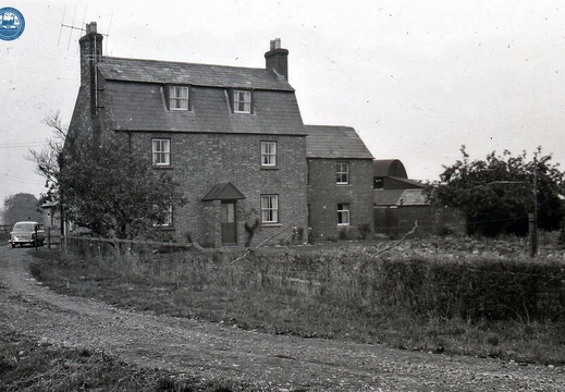
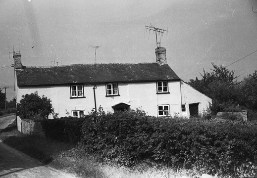
048632E
Image credit: RCHS. 1964, Wroughton Wharf buildings.
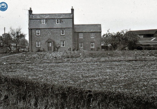
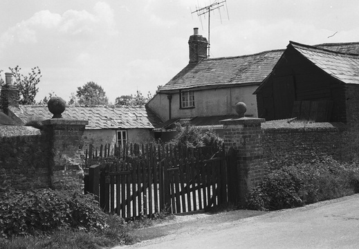
048633E
Image credit: RCHS. 1964, Wroughton Wharf buildings.
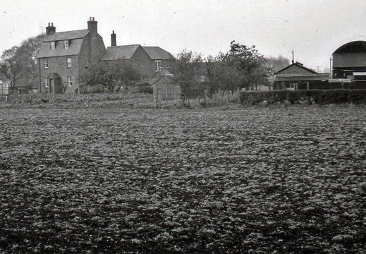
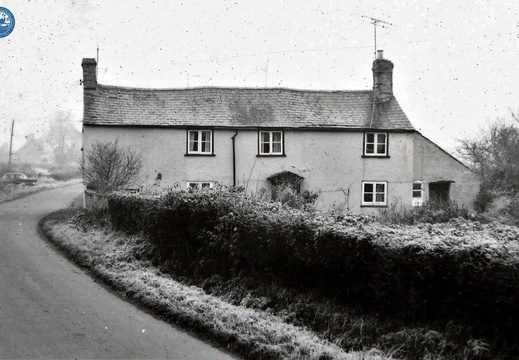
048634E
Image credit: RCHS. 1964, Wroughton Wharf buildings.
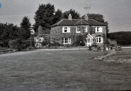
048672E
Image credit: RCHS. 1964, Longcot wharf house, Longcot Branch.
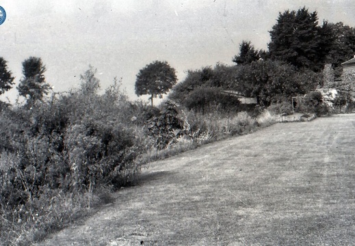
048673E
Image credit: RCHS. 1964, Longcot wharf, Longcote Branch.
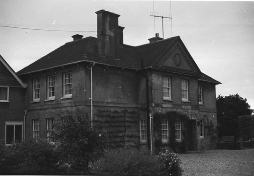
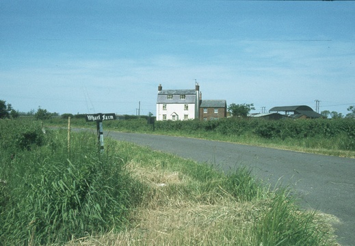
082 Wharf Farm 129822 June 1978
1978, Wharf Farm
1.01.2 Abingdon (346n)
1960, Abingdon, Wharf House
Log
15 Wantage Basin

Wantage Basin. Wharfinger house, Wharf store, stable, tack room, weighbridge and toll house all exist in dilapidated condition. This site will be redeveloped soon. it's buildings are original.
D.L. Banfield Survey, 1969

22 Longcot Wharf

Longcot New Wharf is converted to residences (2 houses). Wharf store demolished at south end.
D.L. Banfield Survey, 1969

25 Bourton Wharf

Bourton Wharf buildings exist but canal is filled. It runs adjacent to A420 on south side. Arch bridge for road from Lower Bourton is extinct.
D.L. Banfield Survey, 1969

5.06.1 North Wilts (421n)
1961, NW branch, Chelworth Wharf House from the south
5.06.2 North Wilts (460n)
1961, NW branch, entrance to Chelworth Wharf