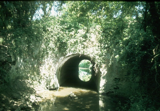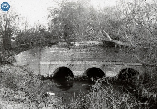
046 Dunnington Aqueduct South Side 062815 June 1978
1978, Dunnington Aqueduct South Side
047541E
Image credit: RCHS. 1962, River Ray Aqueduct from SW.
047542E
Image credit: RCHS. 1962, River Ray Aqueduct from SW.
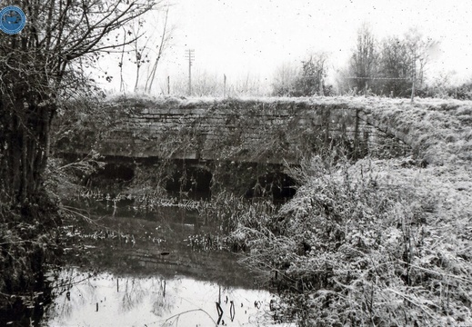
047547E
Image credit: RCHS. 1962, "River Key Aqueduct. South of Cricklade near Broadleaze Farm"
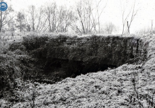
047548E
Image credit: RCHS. 1962, "River Key Aqueduct. South of Cricklade near Broadleaze Farm"
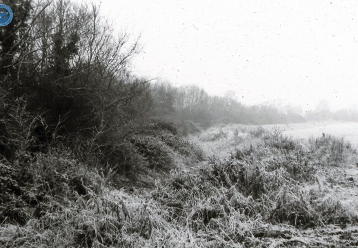
047549E
Image credit: RCHS. 1962, "Embankment NW of Key aqueduct. Taken looking NW from R Key aqueduct"
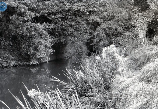
048657E
Image credit: RCHS. 1964, Marden aqueduct, Stanley.
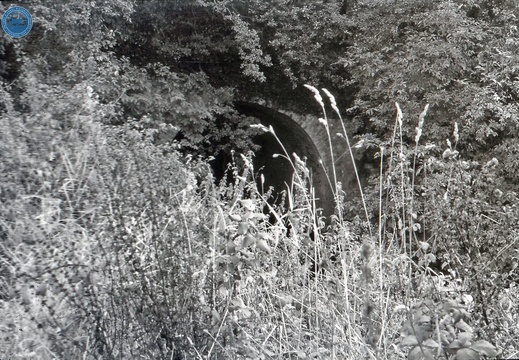
048666E
Image credit: RCHS. 1964, Wootton Bassett Aqueduct, Greenhill Common.
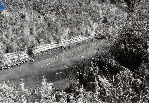
048670E
Image credit: RCHS. 1964, Remains of aqueduct over river Cole.
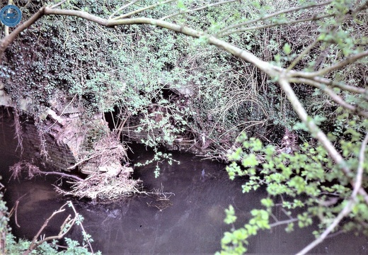
074632E
Image credit: RCHS. c1980's, Bremhill Stanley Aqueduct over the river Marden
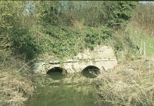
099 South side of River Ray Aqueduct spring 1978
1978, South side of River Ray Aqueduct
10 Letcombe Brook Aqueduct

Aqueduct rebuilt over Wantage river (Ginge Brook) as required in Enabling Act of 1894.
D.L. Banfield Survey, 1969

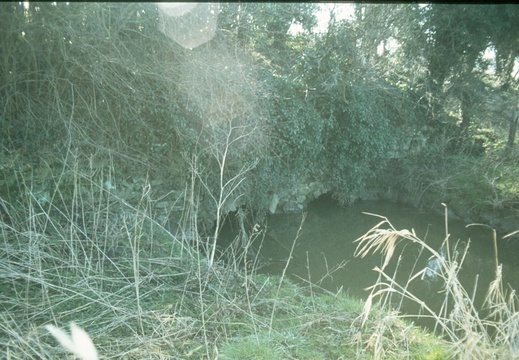
100 North side of River Ray Aqueduct spring 1978
1978, North side of River Ray Aqueduct
17 Woolstone Brook Aqueduct

Aqueduct of brick, 6ft. wide x 4ft. high over Woolstone brook. To west of this embankment 6ft high runs to Uffington wharf 250 yds. away.
D.L. Banfield Survey, 1969

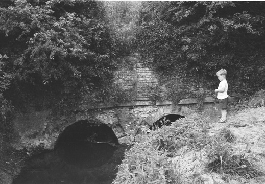
4.16 Swindon (294n)
1960, Swindon, West Leaze, looking north at the River Ray aqueduct