This Notebook is the property of Mr C.E. Faulkner
14 Noakes Avenue
Chelmsford
Essex
9 Chapel Hill
Halstead
Essex
CO9 1JJ
36 Fakenham Road
Great Ryburgh
Norfolk
NR21 7AN
C.E. Faulkner Field Excursions 1958-66
This Notebook is the property of Mr C.E. Faulkner
14 Noakes Avenue
Chelmsford
Essex
9 Chapel Hill
Halstead
Essex
CO9 1JJ
36 Fakenham Road
Great Ryburgh
Norfolk
NR21 7AN
C.E. Faulkner Field Excursions 1958-66
1
Field Excursions
W & B C.
N W C.
C.E. Faulkner Field Excursions 1958-66
1
Field Excursions
W & B C.
N W C.
C.E. Faulkner Field Excursions 1958-66

2
1. Observations based on state of // discovered at first dated visit, with any changes, re annotated against further dates.
C.E. Faulkner Field Excursions 1958-66
2
1. Observations based on state of // discovered at first dated visit, with any changes, re annotated against further dates.
C.E. Faulkner Field Excursions 1958-66
3
Blank page
C.E. Faulkner Field Excursions 1958-66
3
Blank page
C.E. Faulkner Field Excursions 1958-66

4
Blank page
C.E. Faulkner Field Excursions 1958-66
4
Blank page
C.E. Faulkner Field Excursions 1958-66
5
SECTION I. Abingdon to Grove Junction
Canal Entrance & Abingdon Lock SU 469966
Visited:- 7.5.60:31.5.60:18.6.60:22.9.60.
Access:-
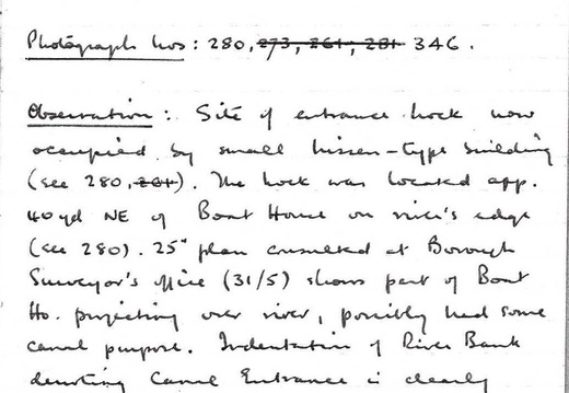
Photograph Nos: 280, 273, 261, 281, 346
Observations: Site entrance of lock now occupied by a small nissan-type building (see 280, 261). The lock was located approximately 40 yards northeast of Boat house on river's edge (see 280). 25" plan consulted at Borough Surveyors office (31/5) shows part of Boat Ho projecting over river, possibly had some canal purpose. Indentation of river bank ///ting canal entrance is clearly visible (280).
"Old Anchor" Inn on riverside may have been resort of boatmen.
SW of lock site is large house in walled grounds (no wall on C[anal]. side)
C.E. Faulkner Field Excursions 1958-66
6
"Kingsland Lodge", possibly wharfinger's house.
(22.9.60) Observed name 'Wharf House' on one of the gate pillars. This visit by Eve and myself, was to celebrate the 150th anniversary of the Canal's opening. There was no one else in sight, and nothing out of the ordinary in the town, despite my letters to the mayor (which were not answered).
C.E. Faulkner Field Excursions 1958-66
7
2. Abingdon Town Wharf and Basin SU495966
Visited:- 7.5.60: 31.5.60:
Access:
Photograph Nos: 274
Observations: Basin, immediately west of lock, has been filled in: it is now a grassed over area which defines shape and extent. Line west from the Basin is shown by a hedge parallel to Caldecott Road: about half way along this road, it disappears under a row of houses fronting the road, which continue down to the A34 junction.
C.E. Faulkner Field Excursions 1958-66
8
3. Caldecott Bridge SU 487965
Visited:- 7.5.60: 31.5.60: 18.6.60: 22.9.60
Access:- *Track from A.34 on W bank at farm
Photograph Nos:-
Observations:- Bridge no longer exists but there is a very slight hump in the A34 at the crossing point. Farm is still there, also row of small cottages southwest of bridge (doubtful authenticity). There was a wharf ('Tythe') west of bridge on south bank.
*Line re-appears about 200 yards west of bridge and is embanked: double hedged and very overgrown: bed accessible in one or two places,
with aquatic-type plants still growing in it.
C.E. Faulkner Field Excursions 1958-66
9
4. Caldecott Lock SU 484965
Visited:- 31.5.60:
Access:- Rough TP scramble from SU 482963
Photograph Nos:-
Observations:- Very overgrown embankment and lock site cannot be traced exactly. Possibly it was where concrete block house (war construction?) is placed right on line. There is a second one of these about 400 yards west, but standing on north bank - some adjacent masonry may be significant. (See note re SU 482963). Average height of embankment in this region is app. 5’. TP only a vague trace and very difficult to follow. Dense hedge growth.
C.E. Faulkner Field Excursions 1958-66
10
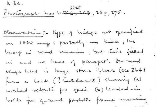
5. Occupation Bridge SU 482963
Visited:- 7.5.60: 31.5.60: 22.9.60: 16.8.64.
Access:- Minor road (drivable) leading off A34
Photograph Nos:- 262, 263, 264, 275
Observations:- Type of bridge not specified on 1880 map: probably was brick, the hump in the road remains, but line filled in and no trace of parapet. On road verge here is large stone block from a lock (Caldecott?) showing (a) worked rebate for gate, (b) leaded-in both for ground paddle frame mounting, (c) worked square hole through for paddle rod. Embankment still evident. (see 275): Line is a little more open to south for a short distance.
(22.9.60) Local fill in has been done, stone block has gone, and area cleaned, hedge torn down, etc
(16.8.64) infill now grassed over etc..
C.E. Faulkner Field Excursions 1958-66
11
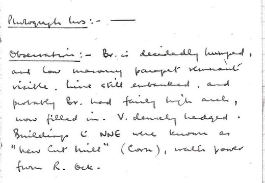
6. Occupation Bridge SU 479961
Visited:- 7.5.60: 31.5.60: 22.9.60
Access:- Continuation of (5)
Photograph Nos:-
Observations:- Bridge is decidedly humped, and low masonry parapet remnant visible. Line still embanked, and probably bridge had fairly high arch, now filled in. Very densely hedged. Building to the north-northeast was known as "New Cut Mill" (Corn), water power from River Ock.
C.E. Faulkner Field Excursions 1958-66
12
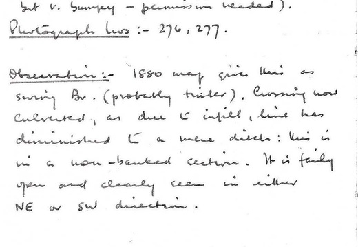
7. Occupation Bridge SU 457945
Visited:- 31.5.60
Access:- Bridle way from Drayton (drivable but v. bumpy - permission needed)
Photograph Nos:- 276, 277
Observations:- 1880 map gives this as swing bridge (probably timber). Crossing now culverted, as due to infill, line has diminished to a mere ditch: this is in a non-banked section. It is fairly and clearly seen in either northeast or southwest direction.
C.E. Faulkner Field Excursions 1958-66
13
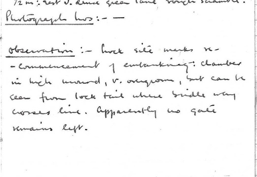
8. Drayton Lock SU 452940
Visited:- 18.6.60
Access:- Bridle way from Drayton, drivable abt 1/2 m: // v. dense green lane scramble.
Photograph Nos:-
Observations:- Lock site marks re-commencement of embanking: chamber in high mound, very overgrown, but can be seen from lock tail where bridleway crosses line. Apparently no gate remains left.
C.E. Faulkner Field Excursions 1958-66
14
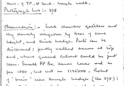
9. Steventon Lock and *Basin SU 445932
Visited:- 31.5.60
Access:- From SU 441929 (10) along overgrown rems of TP, N Bank. // walk
Photograph Nos:- 278
Observations:- Lock chamber gateless and very densely overgrown by trees of some height, and thick hedge. Parts can be discerned: partly walled across at top end, where ground culvert could be just seen. Small footpath bridge across lower end as per 1880 map, but not on 1:25000. Extent of 'basin' seen through hedges. Uncertain whether this was a wharf or a passing point, as no land track of any consequence joining it (for goods transport) is shown on either map.
(27.5.64) *Concluded that this is a "winding hole".
C.E. Faulkner Field Excursions 1958-66