 Image credit: Swindon Museum and Art Gallery/ Art UK. Artist: G. Puckey.
Butchers shop on Fleet Str...")
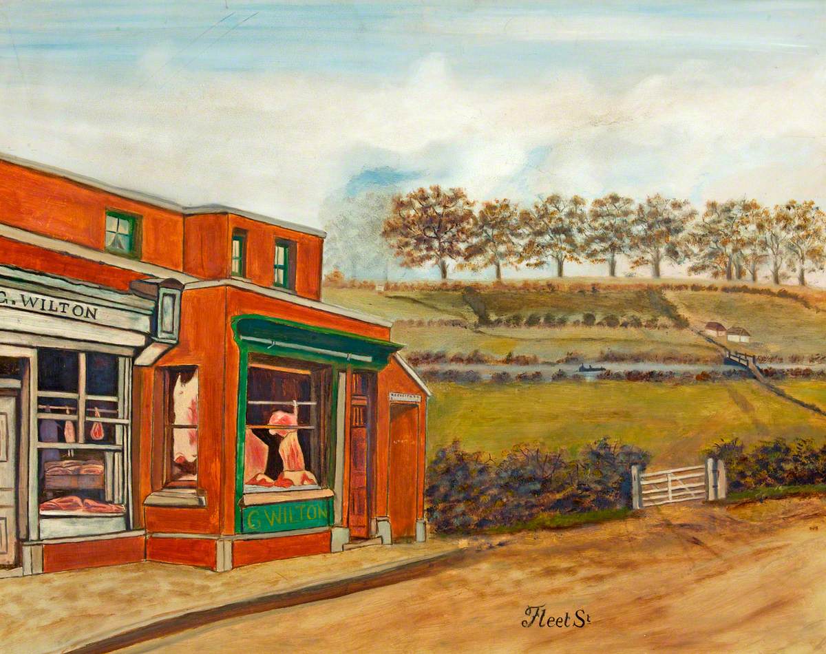
Image credit: Swindon Museum and Art Gallery/ Art UK. Artist: G. Puckey.
Butchers shop on Fleet Street looking south east to Black bridge and farm at the foot of Eastcott hill.
Black bridge was on a bridleway from Eascott to Rodbourne Cheney.
Butchers shop on Fleet Street looking south east to Black bridge and farm at the foot of Eastcott hill.
Black bridge was on a bridleway from Eascott to Rodbourne Cheney.