 Image credit: Swindon Museum and Art Gallery/ Art UK. Artist: J. Hood. No date.")
 Image credit: Swindon Museum and Art Gallery/ Art UK. Artist: G. Puckey")
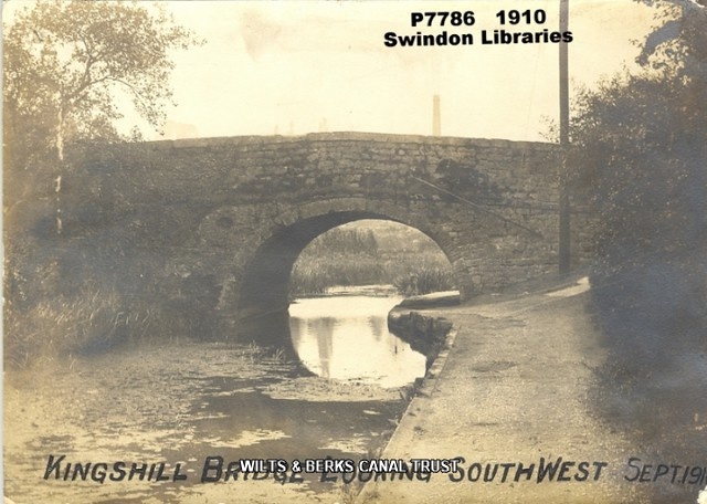
 Image credit: Local Studies, Swindon Central Library. 1910, Kingshill Bridge")
Image credit: Local Studies, Swindon Central Library. 1910, Kingshill Bridge
Image credit: Local Studies, Swindon Central Library. 1910, Kingshill Bridge
 Image credit: Local Studies, Swindon Central Library. 1910, Kingshill Bridge")
Image credit: Local Studies, Swindon Central Library. 1910, Kingshill Bridge
Image credit: Local Studies, Swindon Central Library. 1910, Kingshill Bridge
 Image credit: Local Studies, Swindon Central Library. 1910, Kingshill Bridge")
Image credit: Local Studies, Swindon Central Library. 1910, Kingshill Bridge
Image credit: Local Studies, Swindon Central Library. 1910, Kingshill Bridge
 Image credit: Local Studies, Swindon Central Library.1910, Kingshill Bridge")
Image credit: Local Studies, Swindon Central Library.1910, Kingshill Bridge
 Image credit: Local Studies, Swindon Central Library. c1950, Location of former Kingshill Bridge")
Image credit: Local Studies, Swindon Central Library. c1950, Location of former Kingshill Bridge
 Image credit: Local Studies, Swindon Central Library. 1953 , Man with a stick. Canal dam")
Image credit: Local Studies, Swindon Central Library. 1953 , Man with a stick. Canal dam
 (7159 visits) 1959, Swindon, looking south west at infill close to Kingshill bridge")
1959, Swindon, looking south west at infill close to Kingshill bridge
 Image credit: Local Studies, Swindon Central Library. Date unknown, Kingshill towpath, by the dam")
Image credit: Local Studies, Swindon Central Library. Date unknown, Kingshill towpath, by the dam
 (4211 visits) 1962, Swindon, looking north east towards Kingshill bridge")
1962, Swindon, looking north east towards Kingshill bridge
 1978, Kingshill Swindon")
1978, Kingshill Swindon
 1978, Kingshill")
1978, Kingshill
 Issue 70, Jun 1978 Progress report, First worksite, Kingshill")
Issue 70, Jun 1978
Progress report, First worksite, Kingshill
Progress report, First worksite, Kingshill
 Issue 71, Aug 1978 Progress report, Kingshill, Shrivenham")
Issue 71, Aug 1978
Progress report, Kingshill, Shrivenham
Progress report, Kingshill, Shrivenham