9
4. Caldecott Lock SU 484965
Visited:- 31.5.60:
Access:- Rough TP scramble from SU 482963
Photograph Nos:-
Observations:- Very overgrown embankment and lock site cannot be traced exactly. Possibly it was where concrete block house (war construction?) is placed right on line. There is a second one of these about 400 yards west, but standing on north bank - some adjacent masonry may be significant. (See note re SU 482963). Average height of embankment in this region is app. 5’. TP only a vague trace and very difficult to follow. Dense hedge growth.
C.E. Faulkner Field Excursions 1958-66
10
5. Occupation Bridge SU 482963
Visited:- 7.5.60: 31.5.60: 22.9.60: 16.8.64.
Access:- Minor road (drivable) leading off A34
Photograph Nos:- 262, 263, 264, 275
Observations:- Type of bridge not specified on 1880 map: probably was brick, the hump in the road remains, but line filled in and no trace of parapet. On road verge here is large stone block from a lock (Caldecott?) showing (a) worked rebate for gate, (b) leaded-in both for ground paddle frame mounting, (c) worked square hole through for paddle rod. Embankment still evident. (see 275): Line is a little more open to south for a short distance.
(22.9.60) Local fill in has been done, stone block has gone, and area cleaned, hedge torn down, etc
(16.8.64) infill now grassed over etc..
C.E. Faulkner Field Excursions 1958-66
11
6. Occupation Bridge SU 479961
Visited:- 7.5.60: 31.5.60: 22.9.60
Access:- Continuation of (5)
Photograph Nos:-
Observations:- Bridge is decidedly humped, and low masonry parapet remnant visible. Line still embanked, and probably bridge had fairly high arch, now filled in. Very densely hedged. Building to the north-northeast was known as "New Cut Mill" (Corn), water power from River Ock.
C.E. Faulkner Field Excursions 1958-66
12
7. Occupation Bridge SU 457945
Visited:- 31.5.60
Access:- Bridle way from Drayton (drivable but v. bumpy - permission needed)
Photograph Nos:- 276, 277
Observations:- 1880 map gives this as swing bridge (probably timber). Crossing now culverted, as due to infill, line has diminished to a mere ditch: this is in a non-banked section. It is fairly and clearly seen in either northeast or southwest direction.
C.E. Faulkner Field Excursions 1958-66
13
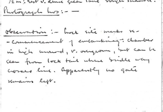
8. Drayton Lock SU 452940
Visited:- 18.6.60
Access:- Bridle way from Drayton, drivable abt 1/2 m: // v. dense green lane scramble.
Photograph Nos:-
Observations:- Lock site marks re-commencement of embanking: chamber in high mound, very overgrown, but can be seen from lock tail where bridleway crosses line. Apparently no gate remains left.
C.E. Faulkner Field Excursions 1958-66
14
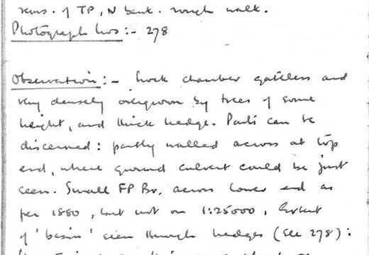
9. Steventon Lock and *Basin SU 445932
Visited:- 31.5.60
Access:- From SU 441929 (10) along overgrown rems of TP, N Bank. // walk
Photograph Nos:- 278
Observations:- Lock chamber gateless and very densely overgrown by trees of some height, and thick hedge. Parts can be discerned: partly walled across at top end, where ground culvert could be just seen. Small footpath bridge across lower end as per 1880 map, but not on 1:25000. Extent of 'basin' seen through hedges. Uncertain whether this was a wharf or a passing point, as no land track of any consequence joining it (for goods transport) is shown on either map.
(27.5.64) *Concluded that this is a "winding hole".
C.E. Faulkner Field Excursions 1958-66
15
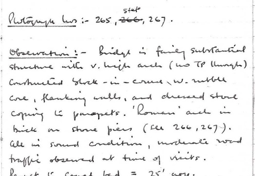
Road Bridge (Cow Common) SU 441929
Visited:- 7.5.60: 31.5.60: 18.6.60 (no stop): 22.9.60: 16.8.64.
Access:- from Steventon village
Photograph Nos:- 265, 266, 267
Observations:- Bridge is fairly substantial structure with very high arch (no towpath through). Constructed block in course, with rubble core, flanking walls, and dressed stone coping to parapets. 'Roman' arch in brick on stone piers (see 266. 267). All in sound condition, moderate road traffic observed at time of visits.
Parapet to canal bed = 25 feet approximately.
1880 map shows swing bridge for occupation crossing at this point: presumably road importance increased and necessitated better br. dating probably late 19th century. Old piece of timber embedded in canal
C.E. Faulkner Field Excursions 1958-66
16
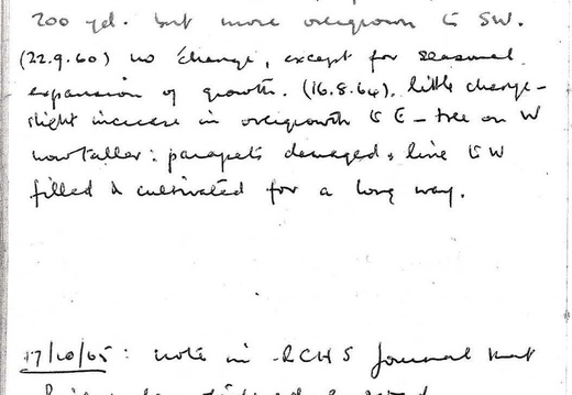
bank on northeast side of bridge may be associated with original swing bridge. Line in low embankment. North east is fairly open for about 200 yards but more overgrown to southwest.
(22.9.60) no change except for seasonal expansion of growth.
(16.8.64) little change - slight in overgrowth to east - tree on west now taller: parapets damaged: line to west filled and cultivated for a long way.
(17.10.65) note in RCHS (Railway & Canal Historical Society) journal that bridge demolished and road levelled - material used to fill in canal line for some distance.
C.E. Faulkner Field Excursions 1958-66
17
11. Ardington Marsh Lock SU 429919
Visited:- 6.8.60: 26.8.62: 2.9.62.
Access:- TP from SU 424903 to rly:* wch cross then bear R. accross field: not E.Hanney FP.
Photograph Nos:- 474
Observations:- Chamber in substantial embankment, partly visible and accessible, no gates: lock very deep, estimate fall, say 10 feet. Embankment about 6 feet above general field level. The line curve west of lock, south to railway, is very noticeable. No trace of railway bridging, and line immediately north of railway extremely overgrown for some distance.
(26.8.62 & 2.9.62) Access possible to line bed above top gates site. Masonry fairly good: top culverts can be seen
C.E. Faulkner Field Excursions 1958-66
18
12. Ardingtonmead Farm SU 426913
Visited:- 7.5.60: 6.8.60: 26.8.62: 2.9.62
Access:- TP from SU 424903 (easiest) or from ardington lane, FP access fields
Photograph Nos:- 268, 269, 270
Observations:- 1:25000 map gives name as 'Canalside Cottages'. Line well defined very tall trees either bank. Footbridge (modern timber) crosses here from towpath to farm. Small one storey cottage beside towpath between farm and railway (apparently inhabited, 6/8/60), but connection with canal not obvious, building style does not seem of period.
(10.9.60) learned from owner of [a house on the west bank, near Grove,]
(old inhabitant of Grove) that this was the cottage of last lock keeper [Not so; this was probably Uncle Jim's cottage. See article by Chris Naish. dgs.], beat extended from Ardington Marsh (?) to Grove Top, junction Wantage Branch. Name J Steele.
(26.8.62 & 2.9.62) No appreciable change.
C.E. Faulkner Field Excursions 1958-66
19
Ardington Top Lock SU 426911
Visited:- 31.5.60: 6.8.60: 26.8.62: 2.9.62.
Access:- TP from SU 424903
Photograph Nos:- 279, 538, 539, 542
Observations:- Densely overgrown, but chamber crossed by single-plank bridge at top, enabling fair view: no gates at top, but remains of bottom pair seen. Line broadens for passing place or lay-by above lock. Ruins of cottage adjacent to lock, but inaccessible for growth, and original shape uncertain - probably lock keeper's. Line quite well defined above lock.
(see 279) (26.8.62 & 2.9.62) No appreciable change. Cottage more dilapidated.
C.E. Faulkner Field Excursions 1958-66
![Faulkner Log Page 020 (660 visits) Page 20
20
Occupation Bridge (Neville's fm) [Pinmarsh Bridge] SU 424903
Visited:- 7.5.60: 3... Faulkner Log Page 020](_data/i/upload/2024/04/09/20240409002416-853f65c8-cu_e520x360.jpg)
20
Occupation Bridge (Neville's fm) [Pinmarsh Bridge] SU 424903
Visited:- 7.5.60: 31.5.60: 6.8.60: 28.8.60: 10.9.60: 26.8.62: 16.8.64.
Access:-
Photograph Nos:- 271, 328
Observations:- 1880 // swing Br carrying // track, [Grove Park Drive] but now is a 3rd class road. filled in and culverted. Canal line both sides fairly clear (see 271), and good access by towpath to a fair length of line, in either direction. No embanking for about 500 yards in this region.
(2.9.62) NB: Between here and 13 [Grove Bottom Lock] is a small cut in north bank, leading into a closed basin on other side of towpath, in which are growing reeds etc. Purpose unknown.
(16.8.64) No change.
[Note: Faulkner wrongly labelled this as Neville's Farm Bridge, which is shown on the 1880 map as a swing bridge, which, indeed, it was. But Neville's Farm Bridge was, in fact, some 500 yards further down the line, and its remains can still be found. Grove Park Drive was built privately for Lord Wantage in the late 1800s and is not shown on the 1880 map. Doug Small]
C.E. Faulkner Field Excursions 1958-66
21
15. Grove Bottom Lock SU 417901
Visited:- 6.8.60: 10.9.60: 28.8.62.
Access:- TP from SU 424903, fairly easy, but one rough part (100 yd) below lock.
Photograph Nos:- 329, 298
Observations:- Chamber partly open, some growth obscuring top end. No gate remains. Heavy banking re-commences, lock mound about 10 feet* high.
Line quite dry and open above lock (pasture land). Remains of masonry about 100 yards above lock - may have been sub-structure for Draw Bridge (see )
26.8.62 *Revised estimate to 15 feet. No appreciable change.
C.E. Faulkner Field Excursions 1958-66
22
16. Spirit Lock SU 414900 (app)
Visited:- 6.8.60: 26.8.62.
Access:- TP from SU 424903 and SU 417901
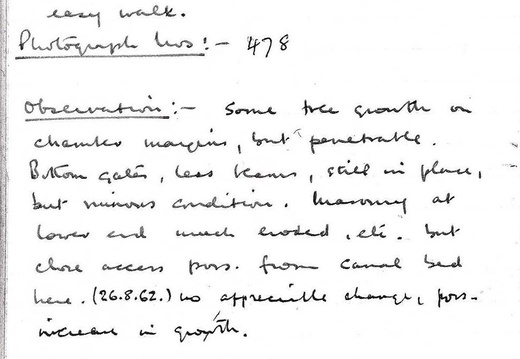
Photograph Nos:- 478
Observations:- Some tree growth on chamber margins, but penetrable.
Bottom gates, less beams, still in place, but ruinous condition. Masonry at lower end much eroded, etc. but close access possible from canal bed here.
(26-8-62) No appreciable change, possible increase in growth.
C.E. Faulkner Field Excursions 1958-66
23
17. Smallmarsh Lock SU 410900
Visited:- 18.6.60: 6.8.60: 28.8.60: 9.8.61: 16.8.64.
Access:- end of Gypsy lane from A 338 (drivable) then // back to lock.
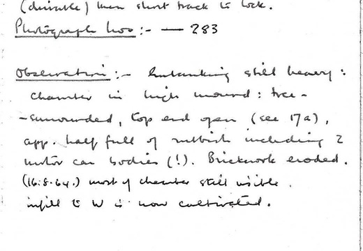
Photograph Nos:- 283
Observations:- Embanking still heavy, chamber in high mound, tree surrounded, top end open (see 17a). Apparently half full with rubbish, including two motor car bodies (!). Brickwork eroded.
(16.8.64) Most of chamber still visible. Infill to west is now cultivated.
C.E. Faulkner Field Excursions 1958-66