22
16. Spirit Lock SU 414900 (app)
Visited:- 6.8.60: 26.8.62.
Access:- TP from SU 424903 and SU 417901
Photograph Nos:- 478
Observations:- Some tree growth on chamber margins, but penetrable.
Bottom gates, less beams, still in place, but ruinous condition. Masonry at lower end much eroded, etc. but close access possible from canal bed here.
(26-8-62) No appreciable change, possible increase in growth.
C.E. Faulkner Field Excursions 1958-66
23
17. Smallmarsh Lock SU 410900
Visited:- 18.6.60: 6.8.60: 28.8.60: 9.8.61: 16.8.64.
Access:- end of Gypsy lane from A 338 (drivable) then // back to lock.
Photograph Nos:- 283
Observations:- Embanking still heavy, chamber in high mound, tree surrounded, top end open (see 17a). Apparently half full with rubbish, including two motor car bodies (!). Brickwork eroded.
(16.8.64) Most of chamber still visible. Infill to west is now cultivated.
C.E. Faulkner Field Excursions 1958-66
24
17a. Smallmarsh to Grove Common Locks
This section ran in a fairly high embankment, about 10 to 12 feet above level of adjacent fields. Has been filled to level of embankment top with rubbish, earth etc. making a partly grassed over lane approximately 40 feet wide.
See Photogragh no 283 (18.6.60) but on 6.8.60, heaps had gone and much of section had been levelled down (bull-dozer?); some grass had grown under new (?) chalky infill material.
(28.8.60) Some ploughing (?) done over whole area.
(10.9.60) Owner of a 19 [house on the west bank, near Grove], informed me that Wantage Council used it as a rubbish tip about 1957, with resulting plague of flies in Grove!
C.E. Faulkner Field Excursions 1958-66
25
18. Grove Common Lock SU 405898
Visited:- 6.8.60: 26.8.62.
Access:- Gypsy la to (17) then via (17a). failrly easy wak: also up field rear of W. Ho.
Photograph Nos:-
Observations:- Chamber much overgrown, partially visible, no gates apparent.
C.E. Faulkner Field Excursions 1958-66
25
18. Grove Common Lock SU 405898
Visited:- 6.8.60: 26.8.62.
Access:- Gypsy la to (17) then via (17a). failrly easy wak: also up field rear of W. Ho.
Photograph Nos:-
Observations:- Chamber much overgrown, partially visible, no gates apparent.
C.E. Faulkner Field Excursions 1958-66
26
19. House on West Bank, Grove
Visited:- 18.6.60 (est): 10.9.60: 26.8.62
Access:- A 338
Photograph Nos:- 285, 479
Observations:- Well kept property of characteristic Georgian simplicity, undoubtedly renovated (external rendering etc.). Reported to have been a canalside inn. [Possibly named 'The Pike or The New Inn'. Doug Small.]
Called 10.9.60. Interviewed owner. Pub origin confirmed, but more not known. Shown around ground floor and garden. Canal line at rear partly overgrown, but towpath clear, and channel more or less visible.
(26.8.62) Saw owner again, and public house from towpath.
C.E. Faulkner Field Excursions 1958-66
27
20. Cottages on West Bank, Grove
Visited:- 18.6.60 (est): 26.8.62.
Access:- A 338.
Photograph Nos:- 284, 482
Observations:- Information obtained in conversation with people in cottage at north end of row:- they were (from north to south)...
1. Boatmen's hostel.
2. Carpenter's shop.
3. Blacksmith's shop and forge.
4. Stables.
Probably one was also cottage for keeper of locks from [Grove Common] (18) down to [Grove Bottom] (15) Named "Ormond Terrace".
(26.8.62) Photographed from towpath.
C.E. Faulkner Field Excursions 1958-66
28
21. Grove Bridge SU 401904
Visited:- 7.5.60: 31:5.60.
Access:- A 338
Photograph Nos:-
Observations:- No bridge, as such, remains, but was almost certainly a brick or stone one. The A338 shows a very slight hump at this point. Canal on east side represented by a narrow ditch for almost 300 yards and disappears at road. A small portion of walling on east side may have some connection. No present trace of line immediately west of road, exact course uncertain, but informed by (20) [people living in Ormond Terrace] that was filled in for garden of bungalow (south-west). There is a footpath or bridleway from A338 (north of bridge) going west for about 500 yards, where it ends in
C.E. Faulkner Field Excursions 1958-66
29
some rubbish heaps, and re-appearance of line (see 272, looking W.) crosses Wantage River by simple bridge at point where track bends. May be based on old tow path.
C.E. Faulkner Field Excursions 1958-66
29
some rubbish heaps, and re-appearance of line (see 272, looking W.) crosses Wantage River by simple bridge at point where track bends. May be based on old tow path.
C.E. Faulkner Field Excursions 1958-66
30
22. Grove Aqueduct SU 400904 (app)
Visited:- 7.5.60: 31.5.60
Access:- Bridle path from (21)
Photograph Nos:-
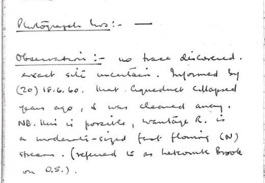
Observations:- No trace discovered, exact site uncertain. Informed by (20) 18.6.60 [people living in Ormond Terrace] that aqueduct collapsed years ago, and was cleared away. NB: this is possible, Wantage River is an moderate-sized fast flowing (north) stream (referred to as Letcombe Brook on O.S.).
[The aqueduct over Letcombe Brook had not collapsed, and is still intact to this day, although the canal it carried is infilled. Doug Small]
C.E. Faulkner Field Excursions 1958-66
31
23. LimeKiln Lock SU 399893
Visited:- 31.6.60
Access:- Bridlepath from (21) then rough walk along TP vestige
Photograph Nos:-
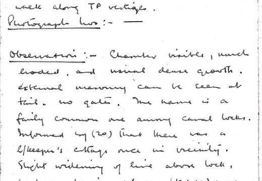
Observations:- (31.5.60) Chamber visible, much eroded, and usual dense growth.
External masonry can be seen at tail, no gates. The name is a fairly common one among canal locks. Informed by (20) [people living in Ormond Terrace] that there was a lock keepers cottage in vicinity. Slight widening of line above lock, perhaps parking place.
10.9.60 Owner of (19) [the house on the west bank, near Grove] remembered the lime kiln adjacent to lock.
C.E. Faulkner Field Excursions 1958-66
32
24. Grove Top Lock SU 396891
Visited:- 31.5.60
Access:- from (23), continuation rough, some scrambling
Photograph Nos:-
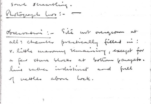
Observations:- Site not overgrown at all: chamber practically filled in, very little masonry remaining except for a few stone blocks at southern parapets. Line rather indistinct and full of nettles above lock.
C.E. Faulkner Field Excursions 1958-66
33
25. Grove Junction SU 396891
Visited:- 31.5.60
Access:- from (24), not TP trace, rough scramble
Photograph Nos:-
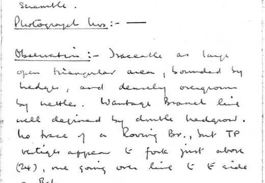
Observations:- Traceable as a large open triangular area, and densely overgrown by nettles. Wantage Branch line well defined by double hedgerow.
No trace of Roving bridge, but towpath vestiges appear to fork just above (24) [Grove Top Lock] one going over line to east side of Branch.
C.E. Faulkner Field Excursions 1958-66
34
Special notes etc. on Section 1
(May 1961: based on 1960 observations)
1. TRACEABILITY: Good generally: obliteration at Abingdon and Drayton Field, filling at Grove: some portions can now be regarded as virtually inaccessible due to years of vegetation growth, but line can be found at all crossings, and exploration (sometimes rough) can be made from many of them.
2. CONDITION: In parts clear and open to Grove Bottom Lock; in general fairly densely hedged both sides. Much of line contains or receives enough moisture to grow rushes etc..
3. CHARACTERISTICS: Section not heavily locked, total fall Grove Junction - Abingdon 102 feet in about 7¾ miles. Country is open and rather flat. There are variations of contour involving embanking in some places to 12 feet high. This accounts for undisturbed nature of section generally (farmers cannot plough infill as where the line is at field level), and perhaps
C.E. Faulkner Field Excursions 1958-66
35
also for time taken to construct this part. No cuttings, except for about a quarter of a mile near Marcham.
4. LOCKS: All accessible, can be seen except (a) Abingdon (b) Caldecott. Ruined gates remain at Ardington Top, Spirit and Grove Common.
No paddle gear left anywhere.
Grove Bottom,
Smallmarsh and Grove Top filled in more or less. Masonry and brickwork generally fair (Ardington Marsh best).
5. BRIDGES: Mostly timber swing or draw type, all gone, //tings filled and some culverted. Fixed Bridges probably at Caldecott (A34), New Cut Mill, 'Cow Common' and Grove (A338). Only Cow Common intact, probably because too much trouble to demolish, there are long approach embankments both sides. (see page 55)
6. BUILDINGS: Best period original is erstwhile canalside inn at Grove (A338) west // of // cottage, less characteristic.
Ruined cottage at Ardington Top, and later small building on towpath nearby. Wharf House' Abingdon likely mid-19" century rebuild, similar Longcot new (wharf?). Same builder? But as good // as Wantage's.
7. REMARKS: No milestones found, they may be there but search impossible because of dense Growth.
* But see Sec.I.5.
C.E. Faulkner Field Excursions 1958-66
36
Section II- Wantage Branch.
1. Wantage Wharf SU 397881
Visited:- 11.9.59: 18.6.60: 13.5.61.
Access:- Mill Street Wantage
Photograph Nos:- 204, 205, 354, 366
Observations:- Basin completely filled. area contains various sheds, some sort of motor business, as many derelict vehicles about: part of original inclosing wall remains together with small building (ruinous condition) with 1830 date carved on (P204): fairly plain wharf house (P205): small weighbridge (?) [sack house Doug Small] building just within entrance gate - dilapidated as regards roof, but walls partly original brick, part renewed: one side built into wharf enclosing wall. Two small rooms ground floor (one with early 19th century cast iron fireplace)
C.E. Faulkner Field Excursions 1958-66