82
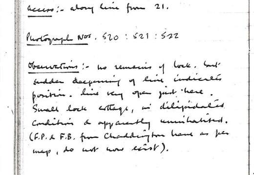
Chaddington Lock (W. Summit), SU092817
Visited 30.8.62. Access: along line from 21.
Photographs 520, 521, 522.
Observations: No remains of lock, but sudden deepening of line indicates position, line very open just here. Small lock cottage, in dilapidated condition & apparently uninhabited (F.P & F.B. from Chaddington Lane as per map, do not now exist).
82 Chaddington Lock (W. Summit), SU092817 Visited 30.8.62. Access: along line from 21. Photographs 520, 521, 522. Observations: No remains of lock, but sudden deepening of line indicates position, line very open just here. Small lock cottage, in dilapidated condition & apparently uninhabited (F.P & F.B. from Chaddington Lane as per map, do not now exist).
83
Special Notes, &c, on Section IV (April 63: based on observations 60-62):
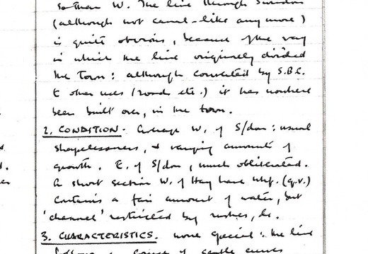
1. Traceability. Fairly good outside Swindon: but E. of S/don much less so than W. The line through Swindon (although not canal-like and more) is quite obvious, because of the way in which the line originally divided the town: although converted by S.B.C. to other uses (roads, etc.) it has nowhere built on, in the town.
2. Condition. Coverage w. of S/don: usual shapelessness, & varying amounts of growth. E. of S/don, much obliterated. On short section W. of Hay Lane Whf (q.v.) contains a fair amount of water, but ‘channel’ restricted by rushes, &c.
3. Characteristics. None special; the line follows a course of gentle curves across the pasture & arable of the ‘Swindon plateau’; a fair number of crossings, and the line never very far from main roads.
83 Special Notes, &c, on Section IV (April 63: based on observations 60-62): 1. Traceability. Fairly good outside Swindon: but E. of S/don much less so than W. The line through Swindon (although not canal-like and more) is quite obvious, because of the way in which the line originally divided the town: although converted by S.B.C. to other uses (roads, etc.) it has nowhere built on, in the town. 2. Condition. Coverage w. of S/don: usual shapelessness, & varying amounts of growth. E. of S/don, much obliterated. On short section W. of Hay Lane Whf (q.v.) contains a fair amount of water, but ‘channel’ restricted by rushes, &c. 3. Characteristics. None special; the line follows a course of gentle curves across the pasture & arable of the ‘Swindon plateau’; a fair number of crossings, and the line never very far from main roads.
84
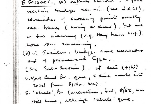
4. Locks. None (summit level).
5. Bridges.
(a) outside Swindon. 2 good (illegible) bridges remain (see 4 & 21); remainder of crossing points mostly occ. Tracks (swing or draw), but one or two masonry (e.g. Hay Lane Whf), none other remaining.
(b) in Swindon. Bridges were numerous and of permanent types (see Sub-Sections), at date (4/63). (6) York Road Br. gone, & line made into road from S’don Whf.
8 ‘Whale’ Br. (uncertain, but, 8/62, was still there, although ‘whale’ gone.
Very extensive re-construction of canal line in Swindon of recent years. (28.6.69)
84 4. Locks. None (summit level). 5. Bridges. (a) outside Swindon. 2 good (illegible) bridges remain (see 4 & 21); remainder of crossing points mostly occ. Tracks (swing or draw), but one or two masonry (e.g. Hay Lane Whf), none other remaining. (b) in Swindon. Bridges were numerous and of permanent types (see Sub-Sections), at date (4/63). (6) York Road Br. gone, & line made into road from S’don Whf. 8 ‘Whale’ Br. (uncertain, but, 8/62, was still there, although ‘whale’ gone. Very extensive re-construction of canal line in Swindon of recent years. (28.6.69)
85
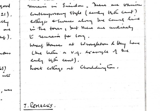
6. Buildings. No buildings known to have had direct connection w. canal remain in Swindon. There are various contemporary style (early 19th Cent) cottages & houses along the canal line in the town, but these are unlikely to remain for long. Wharf Houses at Wroughton & Hay Lane (the latter a v.g. example of the early 19th Cent). Lock cottage at Chaddington.
7. Remarks. (none).
85 6. Buildings. No buildings known to have had direct connection w. canal remain in Swindon. There are various contemporary style (early 19th Cent) cottages & houses along the canal line in the town, but these are unlikely to remain for long. Wharf Houses at Wroughton & Hay Lane (the latter a v.g. example of the early 19th Cent). Lock cottage at Chaddington. 7. Remarks. (none).
86
Section V: North Wilts Canal (Branch of W.B.C). Latton Junction to Swindon Junction.
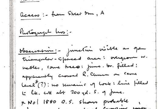
Latton Junction, SU087953;
Visited: 2.9.61;
Access: from Street Fm, A [419];
Photograph Nos: - ;
Observations: Junction visible as open triangular-spaced area; overgrown w. nettle, some tree; junc. br. filled; apparently crossed R. Churn on same level *(?): no remains of lock; line filled to lk. cott. abt. 200 yd. S. of Junc.
No! 1880 O.S. shows probable single arch aqueduct crossing river, before Latton Basin).
86 Section V: North Wilts Canal (Branch of W.B.C). Latton Junction to Swindon Junction. Latton Junction, SU087953; Visited: 2.9.61; Access: from Street Fm, A [419]; Photograph Nos: - ; Observations: Junction visible as open triangular-spaced area; overgrown w. nettle, some tree; junc. br. filled; apparently crossed R. Churn on same level *(?): no remains of lock; line filled to lk. cott. abt. 200 yd. S. of Junc. No! 1880 O.S. shows probable single arch aqueduct crossing river, before Latton Basin).
89
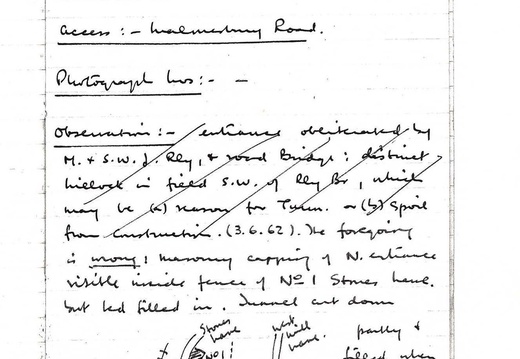
4. Cricklade Tunnel, N. End, ST095936;
Visited: 2.9.61; 3.6.62;
Access: Malmesbury Road;
Photograph Nos: - ;
Observations: entrance obliterated by M & SWJ Rly, & road bridge; distinct hillock in field S.W. of Rly Br., which may be (a) reason for Tunnel, or (b) spoil from construction.
(3.6.62). The foregoing is wrong! Masonry capping of N. entrance visible inside fence of No. 1 Stones Lane but bed filled in. Tunnel cut down partly & filled when rly built. Was this poss. as C. not officially abandoned? B4040 Rly Br. directly over tunnel line.
90
5. Cricklade Tunnel, S. End, ST094935
Visited 2.9.61; 3.6.62; 16.8.64;
Access: Chelworth Rd, Fiddle Fm;
Photograph Nos: - ;
Observations: Lies due E. of Fiddle Fm, occ. rd., crosses behind old parapet; fairly elaborate portal (now much over-grown in all directions) w. extending wing walls; partial collapse of parapet, which was brick w. stone capping; probably frontal wall was plaster faced; line app. 30’ below parapet at centre: line continues s. in very deep (> 25’) overgrown cutting, wch. is fenced off; becomes shallower in distance to (6). [Some water between 5 & 6].
(16.8.64) parapet & capping now v. ruinous.
90 5. Cricklade Tunnel, S. End, ST094935 Visited 2.9.61; 3.6.62; 16.8.64; Access: Chelworth Rd, Fiddle Fm; Photograph Nos: - ; Observations: Lies due E. of Fiddle Fm, occ. rd., crosses behind old parapet; fairly elaborate portal (now much over-grown in all directions) w. extending wing walls; partial collapse of parapet, which was brick w. stone capping; probably frontal wall was plaster faced; line app. 30’ below parapet at centre: line continues s. in very deep (> 25’) overgrown cutting, wch. is fenced off; becomes shallower in distance to (6). [Some water between 5 & 6]. (16.8.64) parapet & capping now v. ruinous.
91
Chelworth Wharf, ST094933;
Visited: 2.9.61; 3.6.62; Access: Swindon Rd.;
Photograph Nos. 421, 460;
Observations: Wharf site well preserved; 3 cottages grouped around central wharf yard, w. other bldgs. 1 cottage (P) original, others modified, or later. Road entrance to wharf has pillars (cf. Wantage) with stone walls
91 Chelworth Wharf, ST094933; Visited: 2.9.61; 3.6.62; Access: Swindon Rd.; Photograph Nos. 421, 460; Observations: Wharf site well preserved; 3 cottages grouped around central wharf yard, w. other bldgs. 1 cottage (P) original, others modified, or later. Road entrance to wharf has pillars (cf. Wantage) with stone walls
93
Dance Bridge, ST097924;
Visited: 2.9.61; 17.8.63; 16.8.64;
Access: Swindon Road; Photograph Nos.: - ;
Observations: Skew type Br. probably, now filled & culverted, no road hump to any extent.
[text and sketch-map crossed-out] See P.109.
Extract
(17.8.63) Line extended NE for some distance; immediately above Br., crosses small stream on single arch aqueduct, line here banked to about 10’, but filled in for several hundred yards to s.
(16.8.64) at symbo is now paved concrete approach from road, with iron gate & notice about tipping rubbish, which is apparently proceeding systematically along line in Cricklade direction.
93 Dance Bridge, ST097924; Visited: 2.9.61; 17.8.63; 16.8.64; Access: Swindon Road; Photograph Nos.: - ; Observations: Skew type Br. probably, now filled & culverted, no road hump to any extent. [text and sketch-map crossed-out] See P.109. Extract (17.8.63) Line extended NE for some distance; immediately above Br., crosses small stream on single arch aqueduct, line here banked to about 10’, but filled in for several hundred yards to s. (16.8.64) at symbo is now paved concrete approach from road, with iron gate & notice about tipping rubbish, which is apparently proceeding systematically along line in Cricklade direction.
